

Learning in the Prep
English
English is central to our learning at St. Christopher’s. We strive to make English as accessible, exciting and stimulating as possible so that the pupils are engaged and keen learners who want to investigate and take a degree of responsibility for their own progress. We regularly take children out of school to the theatre and various workshops to enhance their learning.
We invite a large number of speakers in to talk to the pupils. Recent visitors have included the well-known popular novelists Nicky Singer and Peter James, the story-teller Adam Bushnell and Chris Riddell, the Children’s Laureate and famous author.
Maths
Our teaching of Mathematics is vibrant, engaging and challenging using many interactive resources to supplement a traditional syllabus, making the subject come alive. There is a strong emphasis on mental mathematics and agility to give the children confidence in their handling of number.
The children study the four elements of Number, Algebra, Geometry and Data Handling and are prepared for Common Entrance and Scholarship examinations as well as the UK Mathematics Challenge.
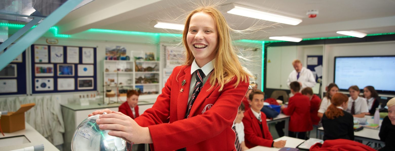
Science
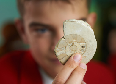
We employ a ‘hands on’ approach to Science, making regular use of our recently renovated laboratory. We encourage independent thinking by empowering the pupils and providing them with the tools to investigate problems and find the answers to a number of scientific challenges. Through our innovative teaching methods, we aim to excite, engage and stimulate the interest of the pupil’s in all aspects of Science.
HISTORY
History is studied from Reception to Common Entrance and Scholarship. We cover a wide range of topics from Ancient Greece to Victorian Britain, including World Exploration, Diversity and Discovery. The subject is brought to life through trips, ICT, drama, debates and projects. We aim to nurture children’s love of the past and imbue in them a passion for history which will last a lifetime.
Religious Studies & Philosophy
Religious Studies and Philosophy will take you from Nativity Plays to Nietzsche. The journey begins in Pre-Pre and continues into Middle School, looking at the world’s major faiths and cultures. Upper School is time to learn about the ideas of famous thinkers from the ancient Greeks to the modern era. Our pupils are able to understand the world from a wide variety of perspectives and, most crucially, express their own views in answer to those Big Questions. We are not all going to agree with each other, but respect for different beliefs and freedom of speech are at the heart of this subject.
GEOGRAPHY
We aim to encourage a sense of wonderment and excitement about the world for our pupils. We study the local environment, transport and environmental change. Pupils are introduced to natural disasters, OS mapwork, tectonic processes, population, settlement and industry.
Our field trips take us all over Sussex, including the Cuckmere Valley, Birling Gap, the Undercliff Walk, the Earth Ship at Stanmer Park, Brighton’s i360, Hove seafront and Devil’s Dyke. The Year 8s also go to Lulworth Cove, Dorset on a three day residential as part of their Geography coursework for their final exam marks.
Languages
We believe that languages are an essential life skill. Pupils start learning French in Reception and Mandarin from Year 1. Latin is also taught further up the school.
The study of French is designed to prepare our children to have the capability and confidence to understand and use French for effective communication. French is taught by specialist language teachers from Reception to Year 8.
Year 7 have the opportunity to spend a week in the Picardy region in France and enjoy a range of activities from visiting a Boulangerie and snail farm to visiting a French market. Year 4 can also have a taste of France at school during our “Year 4 French Breakfast”.
Our aim is for children to leave the Prep School with a solid foundation in both spoken and written French as well as an enjoyment and curiosity for language learning and other cultures that they take with them to their next schools and beyond.
Our aim is to promote an appreciation of other languages and culture and a passion for language learning. Ensuring our pupils are ready for the global workplace that they will one day enter.
Pupils have many opportunities to participate on Language days, a residential trip to France in Year 7, theatre visits, Quiz competitions and cultural workshops such as Flamenco dancing.
Technology
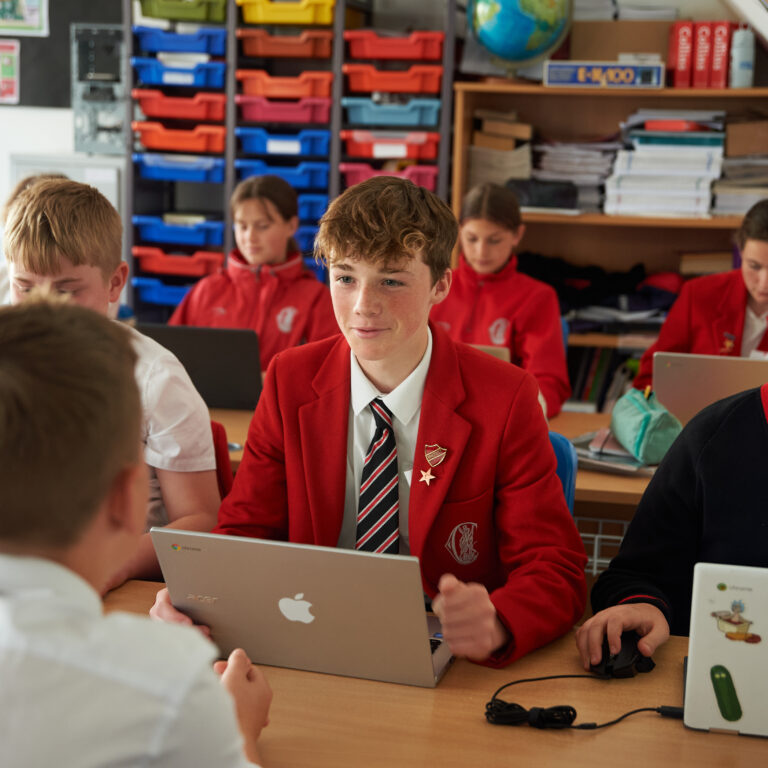
Our curriculum places a strong emphasis on preparing pupils for their future.. At St Christopher’s, children are taught to navigate the digital world safely and they are prepared with the skills that they need in order to thrive.
Chromebooks are used throughout the school to enrich the curriculum. Using Google Workspace and Google Classroom, in addition to a wide array of other online tools, children learn to use technology effectively for research and academic work. Pupils are also taught how to balance their use of technology with non-digital activities in order promote a healthy relationship with technology.
Each week, children receive a Computing lesson, in which they are taught fundamental computer skills. This will include; coding, programming, making websites, 3D design, online research, creating digital music and more.
Learning Support
Our excellent staff to pupil ratio means that all of our pupils are fully supported in their learning. If specific needs arise, our Learning Support Coordinator liaises with teachers and parents to help diagnose and support these pupils.
Where necessary, 1:1 tuition is offered to pupils who need some extra support with their learning. Pupils are encouraged to recognise their strengths and abilities and to overcome barriers to learning.